
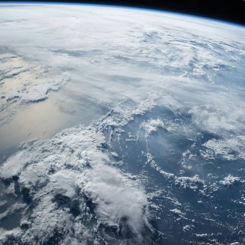
A fresh global forecast every hour at up to 5 kilometers, against its predecessor's six-hourly 25-kilometer grid — a picture Google calls roughly five times sharper.
Google's DeepMind and Research divisions released WeatherNext 3 last week, a global AI weather model that learns directly from live geostationary satellite imagery and from readings taken at individual weather stations. It sits at the top of Operational WeatherBench, an independent leaderboard run by the forecasting startup Brightband.
Most AI forecasting systems, WeatherNext 2 among them, learn instead from the output of supercomputer physics simulations, which reaches a model six hours behind real time. The delay can skew the quantities that move fastest, such as rainfall and surface temperature.
The finer grid is not spread evenly: temperature and moisture come at 5 kilometers, other surface quantities at 10, and conditions in the air column such as wind still at 25.
Google puts its central accuracy claim on rainfall: a day or further ahead, precipitation forecasts are up to 50% more accurate than the previous model's. The company says the gains land hardest across Latin America, Africa and Asia-Pacific, where rain-measuring instruments are thin on the ground.
The model now runs the weather features in Search, the Gemini app, Maps and Earth Engine. For an official forecast or a severe-weather warning, Google still points people to their national weather service.
Google's claim to a first is contested. By its account, no AI model before WeatherNext 3 has fed raw measurements directly into a global forecast at high resolution. WindBorne, a startup applying AI to forecasting, says its WeatherMesh 6 has been taking in unprocessed observations from its own weather balloons since late 2025. Google told TechCrunch that its predictions come at finer resolution everywhere on the planet.
Both systems still lean on national weather datasets, and part of WeatherNext 3's training still draws on physics-model data.